Wild Katahdin Landscape

Wild Katahdin Landscape

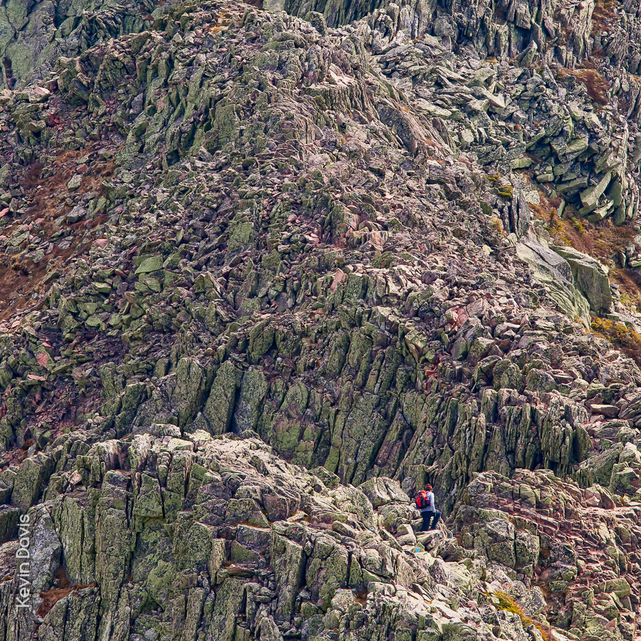
Mount Katahdin, northern terminus of the Applachian Trail

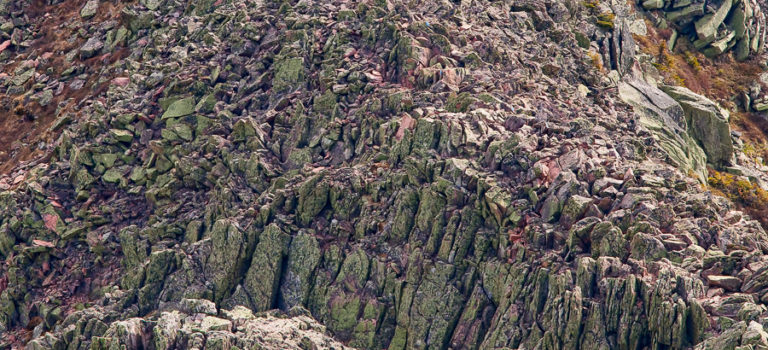
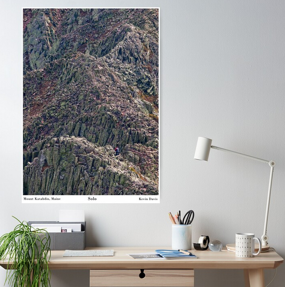
I’ve been thinking of turning this image into a wall poster and have finally done that. The scene is remarkable in particular because a solitary person appears quite small and provides the viewer a sense of scale. This mountain is unlike any other east of the Mississippi River.

I created this photograph during a solo visit to Katahdin. After spending the night at Chimney Pond, I arose early and ascended a very steep trail up to the top of the ridge. As a matter of lucky coincidence, this unidentified lone hiker happened to be about twenty minutes ahead of me.

Here’s what the medium-size poster looks like on my Redbubble store (https://www.redbubble.com/people/kevinheaven/shop).

Tree Silhouette At Sunrise

Balsam Fir and sunrise (final)

At 4:30am, I hiked out to the coastal headlands and arrived at White Head shortly before sunrise.  Although the weather was hazy, the pre-dawn light in the sky was interesting and beautiful.  As the sun rose to the horizon, the colors begain to fade and I believed the show was over, so abandoned my perch atop the cliff, 160 feet above the sea, and hiked north along the coast.

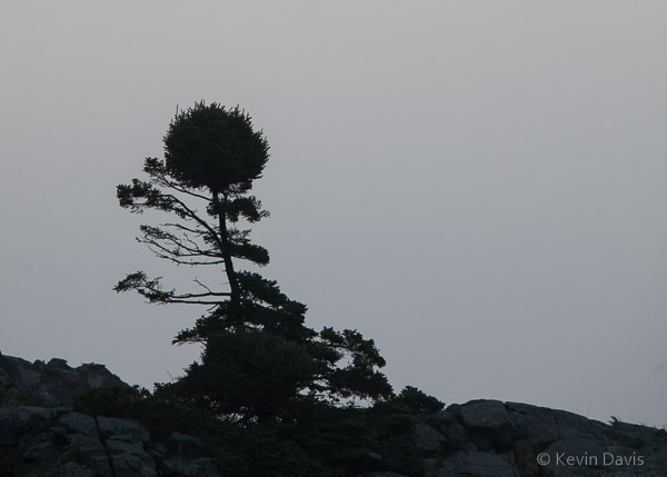
Fifteen minutes later, I spied this oddly shaped tree atop an exposed cliff and made the image shown here, a silhouette against a grey sky.

Balsam Fir silhouette

The hike to the north had brought me down to sea level and the cliffs now loomed above me. Unexpectedly, just to the left of the tree, the sun was beginning to rise behind the cliff.  The show wasn’t over yet.  The time was almost 6 a.m.

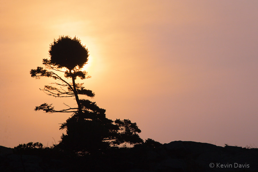
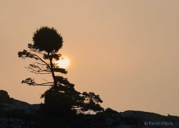
Scrambling along the coastal rocks, I positioned myself such that the tree was in front of the rising sun.  The second shot here is 15 minutes after the grey-sky shot.  Then, the final image is an additional 5 minutes later, about 6:20 a.m.

Balsam Fir and sunrise

Waterworks – rowboat drifting

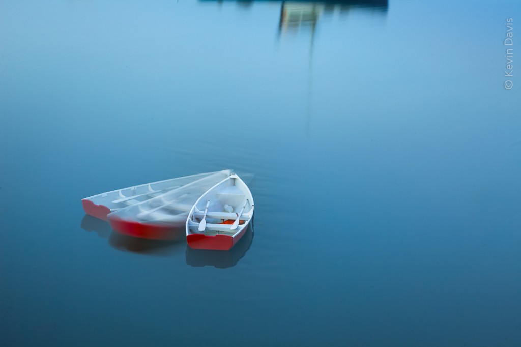
Drifting rowboat, Deer Isle Maine


A print of this image will be exhibited in a juried art exhibit this month.  The framed print is 18×24 inches.  The uframed print is 12×18 inches (because that is what I can print on my 19″ Epson printer).

This is a composite of three images while the camera was fixed on a tripod.  As I was working, the row drifted around its mooring. The reflection at the top of the frame is from a lobster boat.  I feel that the lobster boat serves to anchor the image, while remaining abstract enough not to be a distraction.

The exhibit at Maryland Federated Art is entitled “Waterworks”.   With a total of 580 pieces submitted, the jurors selected 54 for the exhibit.  I submitted two, one of which was selected.  Here is a link to all the works in the exhibit:
http://mdfedart.com/portfolio/49/

Book Marketing – Using a QR Code

I recently published an eBook, a travel guide.  You can see it  here: on Amazon.com.

If you write a travel guide to any place, the smart play is to sell a print book in a gift shop at that place.  But my book is an eBook and not available in print (yet).  If I can’t sell it in gift shops, then how to market the eBook to local tourists?

If you write an eBook, a purely digital thing, the smart way to advertise it is digitally; click this link – buy it now. Yet, because my book is a visitor guide, a very local subject, I have not found a website venue that is both very good and local.

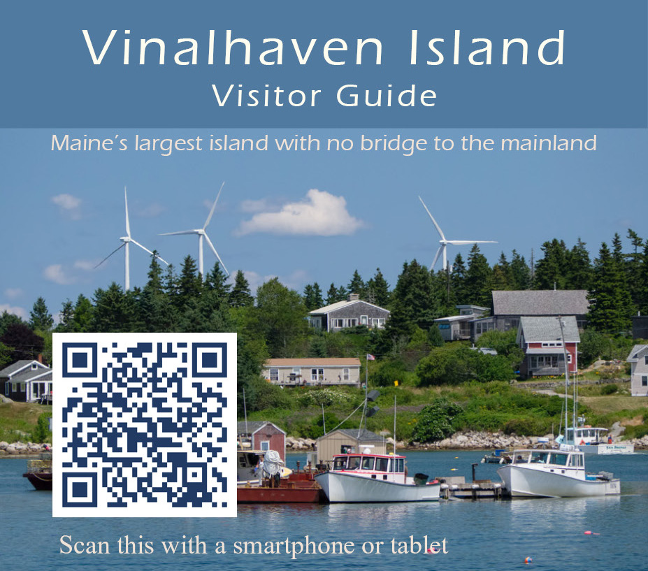
My idea is to distribute some “rack cards” where local tourist literature is displayed. It’s not ideal because it’s difficult to convert a piece of paper into a digital sale.  This is exactly the purpose of QR Codes.  A QR code is like a web link, a URL, but for cameras.

I have never been a fan of QR codes because, until recently, I did not have a “smart” phone capable of recognizing QR codes.  But I am warming up to QR codes now.  For a subset of the tourist population, a QR code on my printed card will allow people to quickly find my eBook, look at the preview pages, and maybe purchase it.

How does a person get a QR code?  Apparently anybody can generate a QR code for just about anything.  It’s free.  Although you can pay for a subscription that provides interesting features, such as tracking the number of people who actually use your code, this is not required.

Here are just a few of the many websites that can generate QR codes for free:
beqrious.com
goqr.me
unitag.io

Some QR sites (e.g. http://www.visualead.com) require you to sign-in or sign-up before you are allowed to download the resulting graphic file of your QR code.

Who actually uses QR codes?  Here is some interesting data at QRstuff.com
q1-2014-qr-code-trends

Somewhere I have seen a QR code displayed on a website.  What’s the point to that?   It’s just … I mean … technology … it’s stupid, right?

Vinalhaven Book

My new book is now available as a Kindle ebook via the Amazon on-line store.  Readable on any device (iOS, Mac, Android, Windows) using the Kindle app (free).

Link to the book on Amazon.com (US):
See Vinalhaven Island Visitor Guide … at Amazon.com

This is Maine, not Miami.  On Vinalhaven, you won’t find loud night clubs or crowded marinas jammed with pleasure boats. You will find miles of walking trails and superb waters for paddling kayaks.

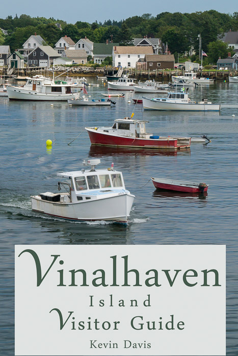
The book includes roughly 22 color photographs.  The only “manipulated” image is on the cover, shown here.  I nudged the foreground boat just a tiny little bit in order to make more room for the title box.

Honestly, I had thought this would be finalized a month or two ago, but … life happens.  And then there were a few final edits, including a couple tweaks to the island map.  An interactive map would be nice, but current e-reader devices don’t support that functionality (yet).


Trillium

Here is a very different type of image from Katahdin / Baxter State Park.
 
 
Both painted trillium and purple trillium are common in the northeast forests and both have a very small window of time during which they bloom, maybe three weeks. Purple trillium are more difficult to photograph because the flowers have a nodding presentation (the flowers droop over and face the ground).
 
 
What always catches my eye is groups of these flowers. Typically they are solitary plants, so a cluster of them is a nice find. For this shot, I used a wide-angle zoom lens with an extension tube. Without the extension tube, focusing distance is perhaps 14 inches. With the extension tube, I can get much closer to the flower, reducing the distance about 50%.
Canon 5D mk II, ISO 400, f/14, 1/6 sec (on a tripod of course)
.

Katahdin

While Mt. Washington (New Hampshire) is the highest peak east of the Mississippi, the terrain of Mt. Katahdin (Maine) is clearly the most challenging “hiking” that I have ever seen (excluding technical “rock climbing”). Before hiking up to the Knife Edge via the Dudley Trail, I thought perhaps carrying a tripod might be a hinderance, so I left it at camp. In retrospect, this was a prudent choice; the Dudley is more rock climbing than hiking. I am not typically afraid of heights, but this trail gave me the creeps!

Atop the Dudley Trail is the infamous Knife Edge between Pamola Peak and Baxter Peak. Having now personally traversed the Knife Edge, I must tell you that words cannot do it justice. It is the most dramatic landscape I have ever seen in the northeast USA; beyond that, I am at a loss for words.


It is widely reported that Mt. Washington is home of the world’s worst weather. Truthfully, many mountains have the same weather; they just don’t have an observatory at the summit to record the facts. At Katahdin, when the weather turned bad, I left and went home.
.