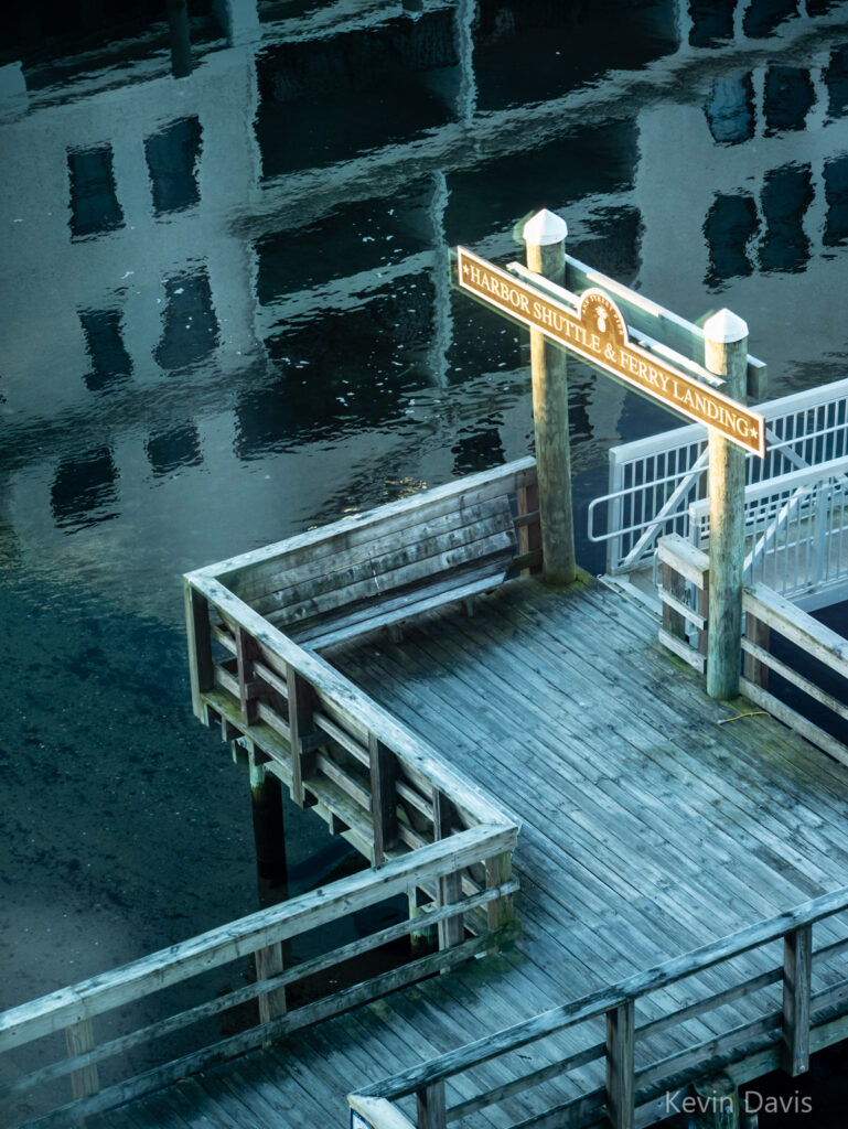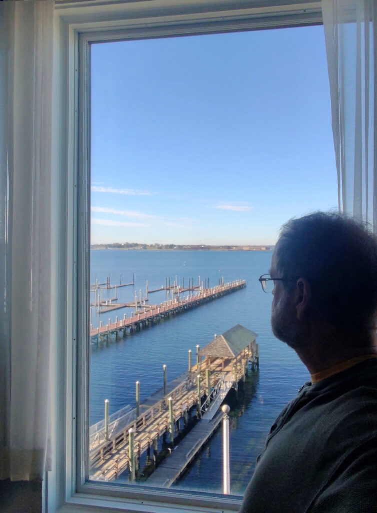
7:00 a.m. …. From my hotel room window, the harbor is awash in pastel hues of pink and blue.
7:10 a.m. …. A solo paddleboarder glides northward across the inner harbor, toward Bowen’s wharf. Morning sunlight hits the top of the 400-ft-tall Claiborne Pell Bridge.
7:20 a.m …. A fishing boat glides south, then turns west between Newport Harbor island and Fort Adams; then passing Fort Adams, turns south again toward the open sea.
7:25 a.m. …. Fort Adams & houses on Aquidneck Island catching direct warm light of the rising sun
7:40 a.m. …. The outside air temp is 26f while the temp back home is 16f
8:15 a.m. …. Coffee & peach-raspberry scone
8:40 a.m. …. Walking through a residential neighborhood, a pair of DPW workers fill a pothole with asphalt
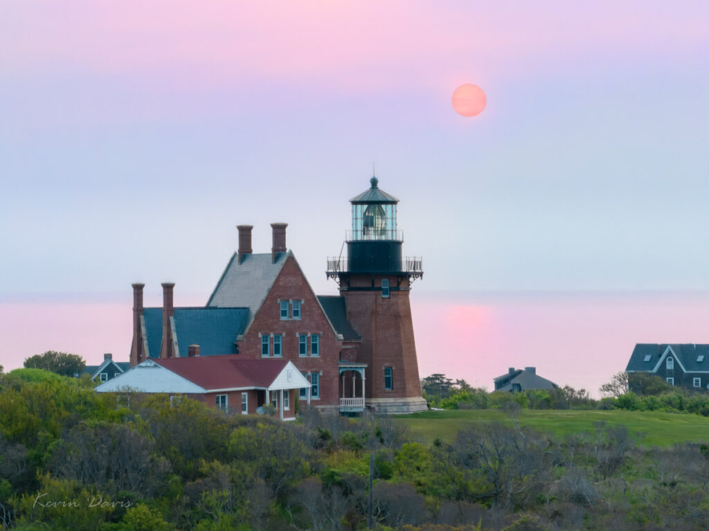
At the time for sunrise (about 5:39 am), the skies were entirely a grey haze and the sun did not show. After waiting four or five minutes with a drone in the air, I abandoned hope and packed up my gear. Walking back toward the road, only then did I see the red disc had risen through the haze. For a brief moment, I pondered whether to simply enjoy the spectacle or quickly re-deploy my gear; I chose the latter.
In retrospect, the haze was more than just morning fog; it was smoke in the atmosphere from Nova Scotia wildfires that month. ‘Cause that will filter light unlike normal morning fog.
Mostly (not completely), I’ve learned not to be disappointed when sunrise doesn’t manifest brilliant colors. That’s challenging because arriving at a location before sunrise implies effort to get up early enough to travel to my intended location. In this particular case, I had to travel by bicycle … before dawn. Because getting a car onto the island is a bit difficult, I left my car on the mainland. And although motorized scooters are common on the island, they are prohibited by law at this time of day.
In addition to visiting Gloucester this weekend, I also ported all my photography and tools to a new computer. As I imported new images from a camera drone, I took the new computer on a test drive to verify that my tools were all in good order.
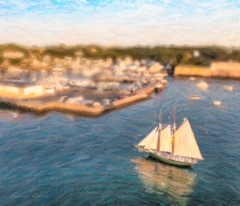
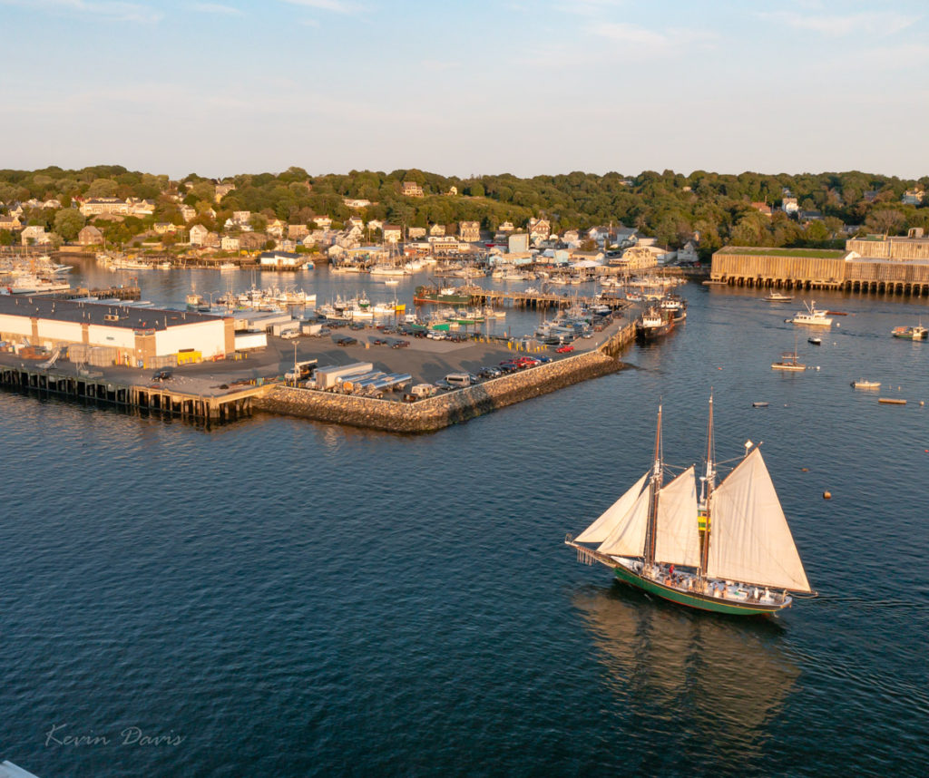
This scene had both very bright highlights and very dark shadows; I doubted that a single exposure could contain both the highlights and shadows. As you likely know, such situations are known as high dynamic range (HDR). I captured a bracket of three exposures. In retrospect, it was a wise choice. The middle exposure was spot on, however the foreground was nearly black and some background highlights were blown out – white boats and white buildings. The darker exposure provided correction for the blown-out highlights. The lightest exposure was used to replace the black foreground water with dark-blue water.
Initially, I processed each of the three in Lightroom and then combined them together using Photoshop. From Lightroom, open the three images using “Edit In” -> “Open As Layers In Photoshop”. Once opened in Photoshop, select all three layers and choose “Edit” -> “Auto-Align layers”. Here, there are six Projection options; I chose “Reposition” because the three images were identical composition that varied only by exposure.
A selection of the highlights was applied as a layer mask on the darkest layer, such that only the highlights are used from that layer. A selection of the foreground dark water was applied as a layer mask to the brightest layer such that the foreground is lightened. The resulting image is shown here on the right.
From there, I applied three image filters by Alien Skin. First was Bokeh, to blur the image – except for the schooner. Then I used two different variations of Snap-Art. All this was done through Photoshop. Upon saving all of this (TIFF file), I was back in Lightroom. Judicious use of brightness, clarity, and color saturation enhanced the simulated brush strokes. The end result is shown here on the left.
For some folks, the annual blooms of flowering trees are highly treasured. While other trees – magnolias, crabapple, etc – are spectacular, ornamental cherry trees are commonly deemed to be the pinnacle of flowering trees. In Japan, the word Hanami means the viewing enjoyment of flowers (hana), but specifically the blossoms of cherry trees.
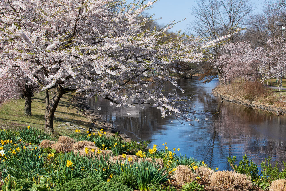
In Tokyo Japan, the reported peak blooming occurred around March 22. In Washington D.C., it was March 28 this year. But here in the northeast USA, the blooming is just starting.
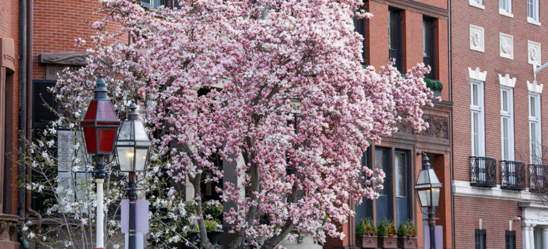
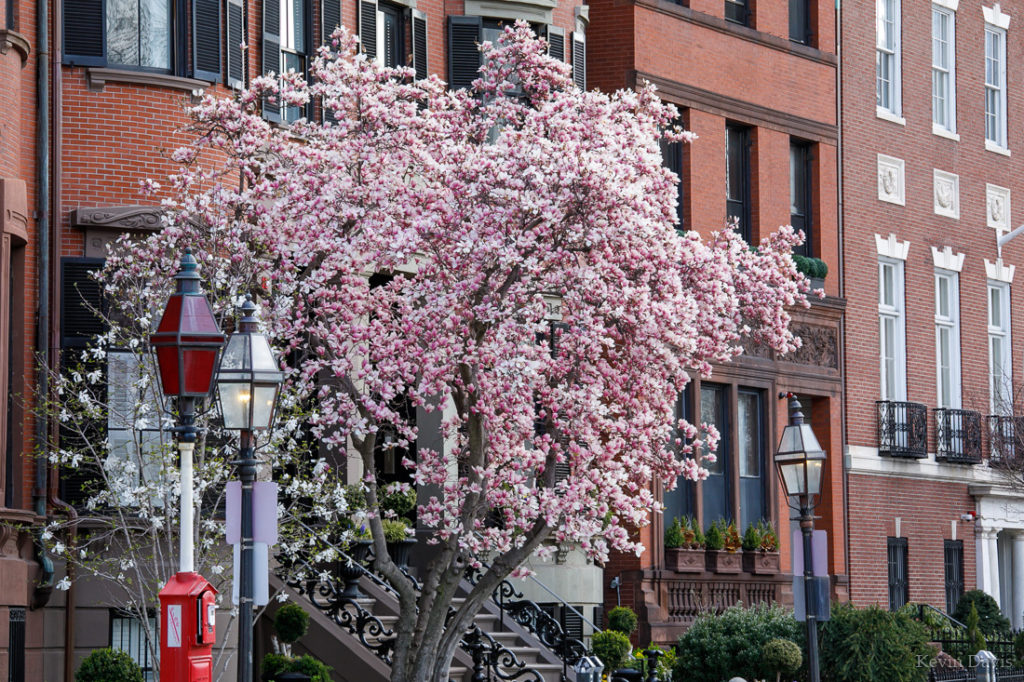
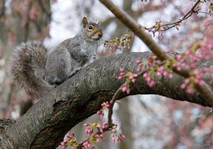
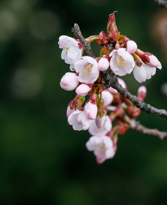
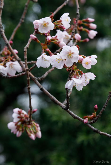
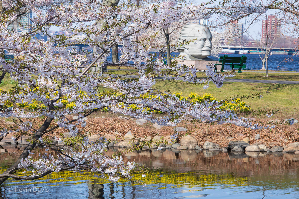
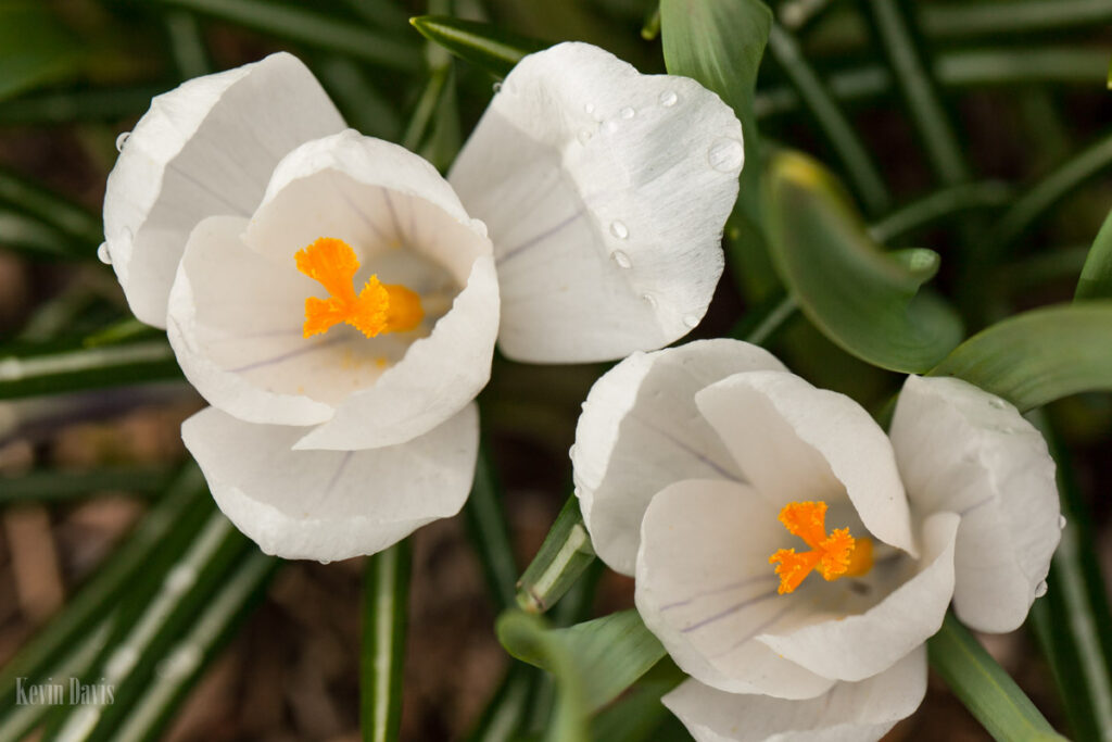
Here are a few samples from Boston this past weekend. The first photo is of a Saucer Magnolia in full bloom. The squirrel sits upon a Yoshino Cherry tree that has not yet bloomed at all. The close-ups are both Sargeant Cherry as it was just beginning to bloom.
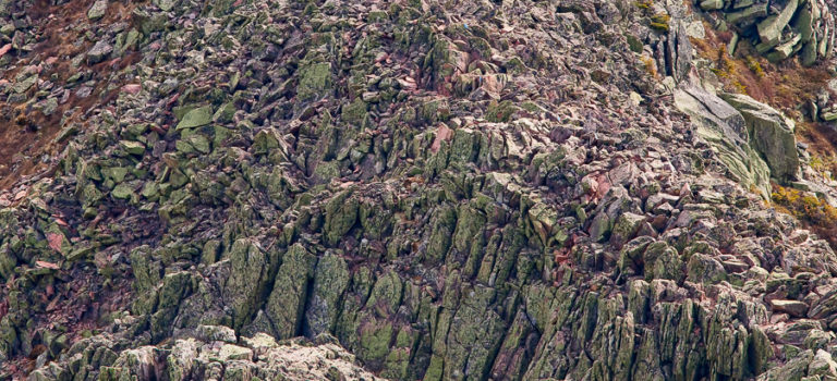
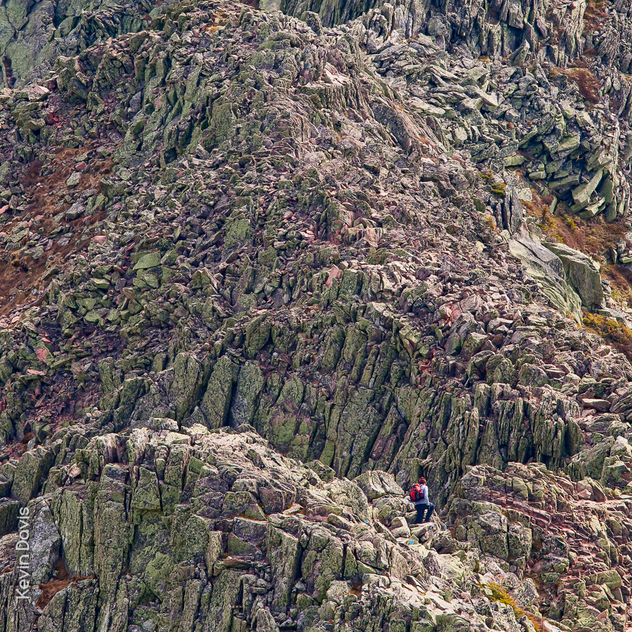
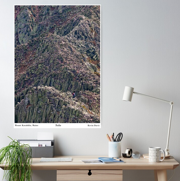
Mount Katahdin, northern terminus of the Applachian Trail
I’ve been thinking of turning this image into a wall poster and have finally done that. The scene is remarkable in particular because a solitary person appears quite small and provides the viewer a sense of scale. This mountain is unlike any other east of the Mississippi River.
I created this photograph during a solo visit to Katahdin. After spending the night at Chimney Pond, I arose early and ascended a very steep trail up to the top of the ridge. As a matter of lucky coincidence, this unidentified lone hiker happened to be about twenty minutes ahead of me.
Here’s what the medium-size poster looks like on my Redbubble store (https://www.redbubble.com/people/kevinheaven/shop).
April 19 – Boston
At the Public Garden, the flowering plum trees are solidly at peak bloom. Although some cherry trees are beginning to drop their flower petals, color will soon be reborn once the crabapples begin to bloom.
The jackpot of cherry trees is located nearby at the Charles River Esplanade. Here, multiple varieties of cherry trees are near peak bloom and should be giving a great display all this week. Of course, the Kwanzan Cherry trees (near the Hatch Memorial Shell) have not yet begun to bloom.
Charles River Esplanade, Boston Massachusetts
April 21 – Portsmouth, New Hampshire
Cherry trees near City Hall have not yet begun to bloom. Just across the street at Langdon Park, the prettiest tree in Portsmouth is just beginning to display the first few flowers. Downtown on State Street, flowing plum trees are displaying good color.
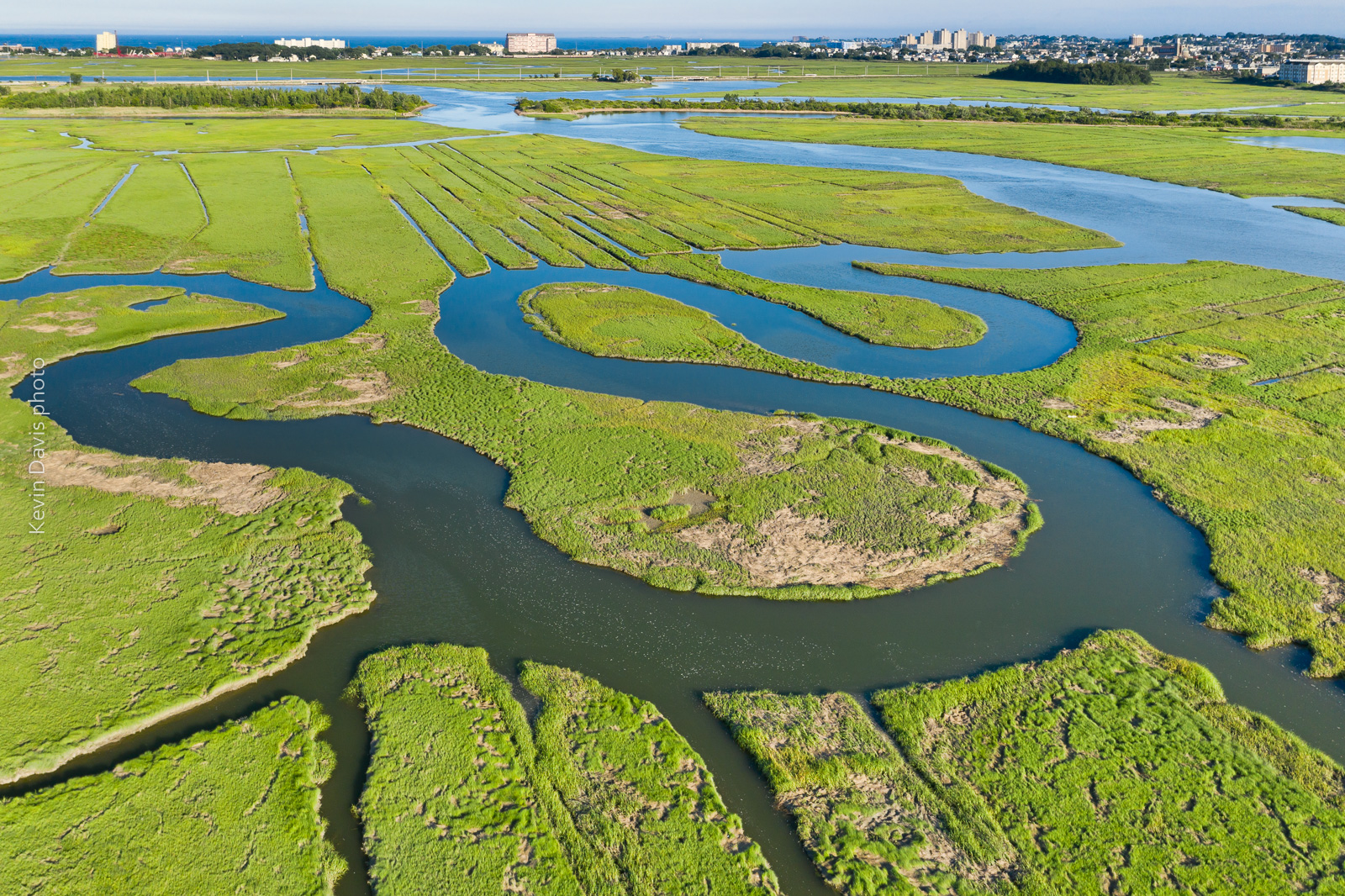
Rumney Marsh photographed with an aerial drone (sUAS)
I first visited Rumney Marsh in the month of May. Although I discovered some great photo compositions, the marsh was mostly brown. Presuming that the grasses would fully transform the landscape into a greener palate, I vaguely planned to return some weeks later. Shown here below is my first image from the May visit:
Rumney Marsh in the month of May
.
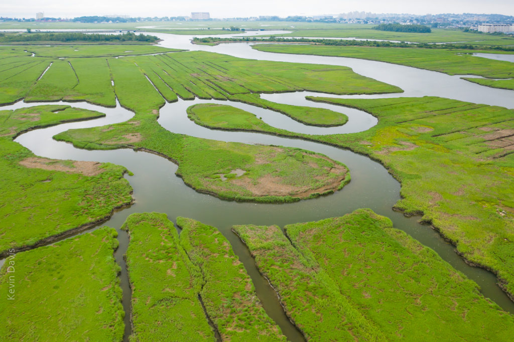
This year, spring in New England has featured more rain than normal. Dry days are a bit like currency – have to spend them judiciously. Five or six weeks later I returned to the marsh on a dry day and found the green grasses covered the land, as expected. Unexpectedly, coastal clouds were lingering and the water reflected white sky (not blue sky).
Rumney Marsh (June) under cloudy skies
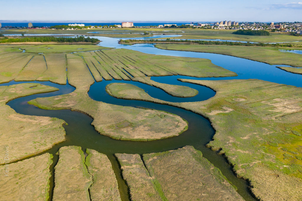
While that is a nice image, … I had imagined the water reflecting a blue sky. So, I returned later that same day after the clouds cleared away. That final image is shown at the top of this article.
In all three instances, the image required post-processing for HDR, particularly because the buildings on the horizon were too bright. So each of these three instances is a combination of multiple exposures, simply to control the dynamic range of light.
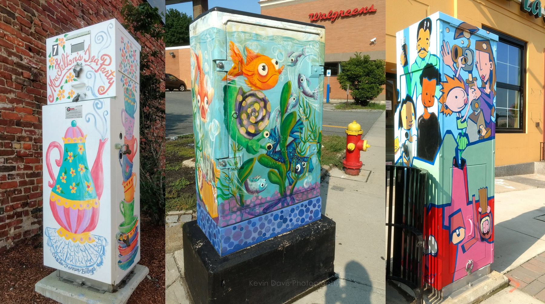
Stopping at a coffee shop downtown, I put a quarter in the parking meter. When I returned, 20 minutes remained on the meter, so I took a short walk. That’s when I happily discovered art on a utility box … and another … and another.
While I prefer a camera with interchangeable lenses, at times like this I am happy to have a mobile phone with a camera. My phone-camera is not a great camera, but as the saying goes … the best camera is the one you have with you.
I must also note that Android / Google Photos includes some photo post-processing functions that I rarely use but did use here. The leftmost image was badly overexposed. The problem was very well solved by applying “auto”.
(No, I’m not giving up my big interchangable-lens cameras.)
I love autumn in New England. The colors of the leaves here are world famous. The reason is the large number of sugar maple trees and a good number of red maple trees.
If you are planning your fall vacation, there are a some good web sites that can help, but most are simply reporting the foliage as it is right now rather than forecasting when peak color will manifest.
Here’s a reasonably good map that I found helpful:
Do keep in mind this is based upon past years and not necessarily an accurate prediction for this year. As they say in the stock market, past performance does not guarantee future results.
I’ve read multiple suggestions online that the color could be particularly vibrant this year, considering this year’s temperatures and rainfall. Eastern Massachusetts experience significant drought during 2016 … but not so in 2017.
Also consider the night temperatures are still warmer than usual. Tonight, temperature will finally drop into the 40s but warmth returns this weekend. This may mean peak color will be a bit later than usual.
In this particular case, standing on a tall bridge (with pedestrian walkway) provided a spectacular view.
Where to stand? I do ponder this question in advance whenever possible. But sometimes I don’t have detailed information in advance. If I recall correctly, on the day of this parade of sail, I did not know precisely where the ships would be sailing and realized the potential of the bridge only that morning when I arrived at the waterfront.
The question of where to stand sometimes involves the location of the sun. In the morning, sunlight will be coming from the east or southeast. Later in the day, it comes from west or southwest. That can be extremely important if my photographic expectations are front-light, back-light, or side-light.
A staged event, such as a parade of sail, will generally have a fixed start time that is outside of my control. In that case, perhaps the biggest question is whether to stand on the left bank or the right bank. For a recent Sail Boston event, I knew that the ships would be sailing into Boston Harbor through a channel between East Boston and South Boston; I had to choose one location, as travelling between the different locations was impractical.